We are excited to announce our strategic partnership with Maxwell GeoSystems, a world-leading software provider of construction data solutions.
By combining Field’s expertise in geomatics and data capture with Maxwell’s powerful MissionOS platform, we aim to deliver state-of-the-art geo-monitoring solutions to the Nordic market. Together, we will enhance infrastructure projects with real-time monitoring and seamlessly integrate sensor networks that measure critical parameters such as movement, deformation, vibration, and more.
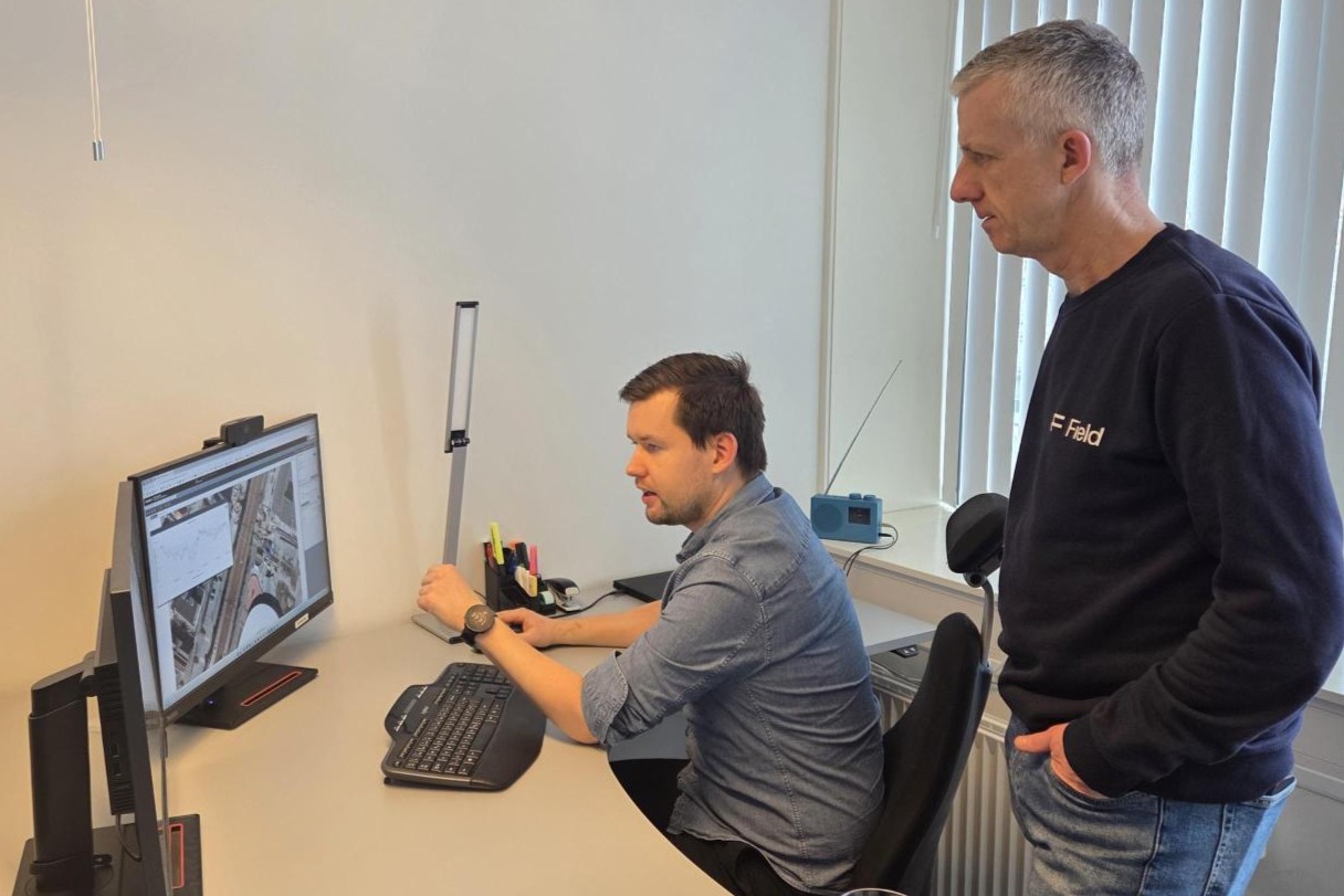
As part of this collaboration, MissionOS will be a core component of Field’s monitoring solutions for infrastructure and construction projects. One notable deployment is in Sandnes city center and the station area, where challenging ground conditions demand exceptional data precision and insight. The MissionOS platform provides a centralized data environment to monitor tilt sensors installed on the railway, enabling engineers to track changes in real time and make informed decisions with confidence.
This project is among the first of its kind, proving that real-time monitoring in highly demanding environments is not only feasible but transformative.
“In partnership with Maxwell GeoSystems, we are now bringing some of the most advanced geo-monitoring solutions to the Nordic market. This cutting-edge technology will greatly enhance security management and set a new standard for monitoring and reporting on complex infrastructure. The powerful analysis tools in MissionOS will also enable project owners to optimize workflows and maintain full control at all times—an essential advantage when dealing with challenging ground conditions,” says Sven Bratland, regional manager at Field.
For more information, contact Sven Bratland, Regional Manager, Field Survey Bergen, e-mail: svein.bratland@fieldgeo.no